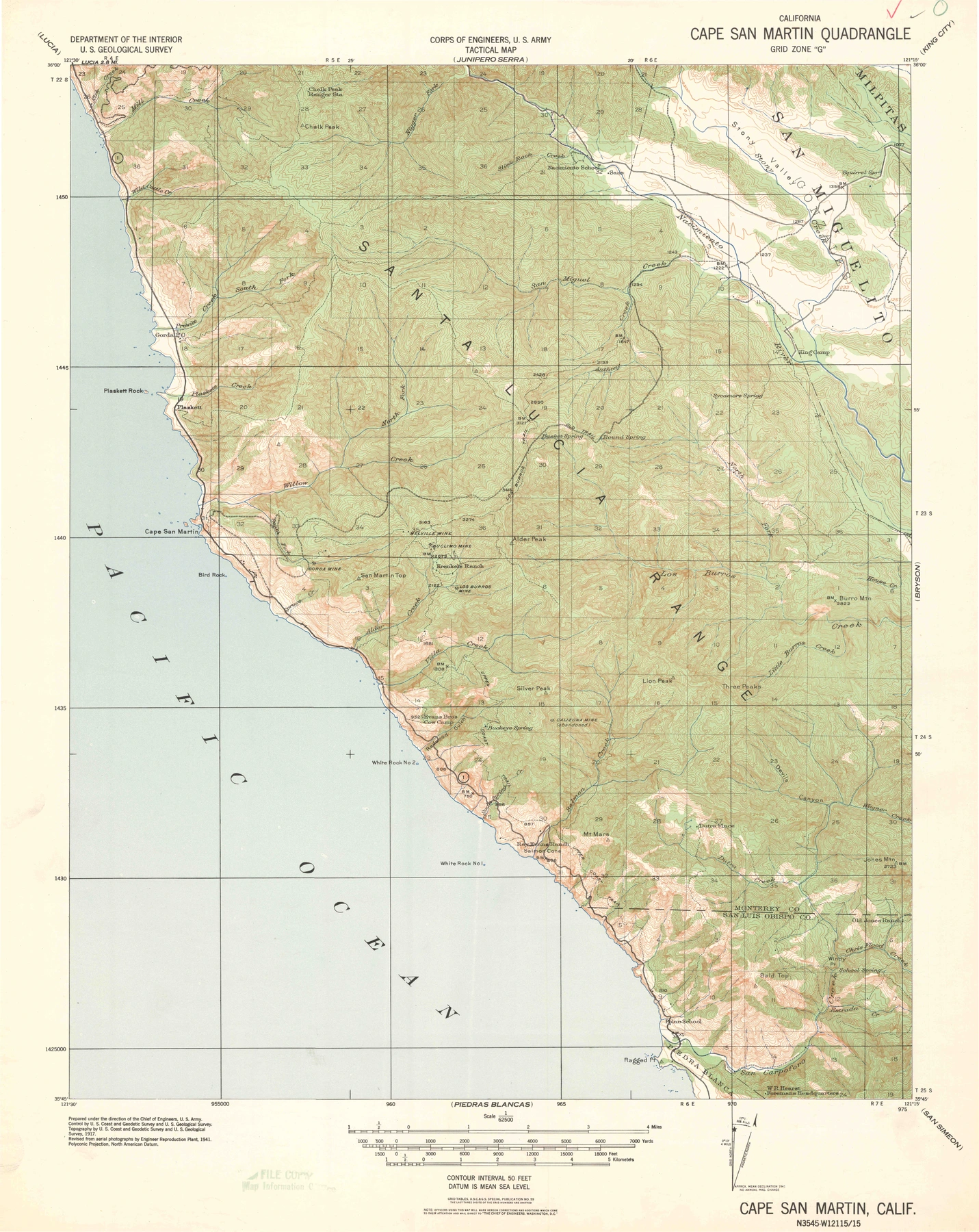
← The Landscape Through TimeQuadrangle record · Cape San MartinCape San Martin — 1941Sheet 21 · 1941An Aerial Revision — Revised from aerial photographs in 1941; earlier survey basis.Complete sheet with printed margins · Cape San Martin coverageOpen detailed viewerDownload GeoPDF · 8.4 MBIn this seriesRelated editions1942 · 1:62,500Cape San Martin — 1942Road Data and Reprinting1948 · 1:62,500Cape San Martin — 1948Postwar Mapping1949 · 1:24,000Cape San Martin — 1949A More Detailed QuadrangleArchive indexReturn to all historical mapsBrowse the collection chronologically