Historical record · Santa Lucia coast
The Landscape
Through Time
A source-conscious archive of maps that record the changing ways this coast has been surveyed, described, and printed.
Reading the sheets
Dates on a map can refer to a survey, revision, reprint, or later information added to an older base. Each record keeps those distinctions visible and links to the original GeoPDF. These documents are historical sources, not current navigation charts.
Chronological index
16 sheets · earliest to latest
Most entries follow the bounded Cape San Martin quadrangle along the Big Sur South Coast. The Cambria sheets (1980) are a distinct, broader regional coverage at 1:100,000; one carries bathymetry added in 1987. Their scope and edition histories are noted with each record. Quadrangle edges do not represent the boundaries of today’s Silver Peak Wilderness.
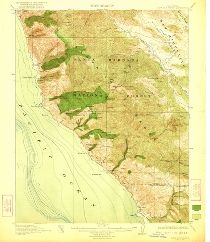
Cape San Martin — 1921
Woods and Brush
Surveyed 1917; edition of 1921.
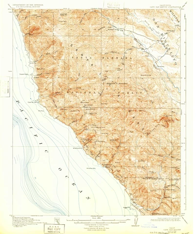
Cape San Martin — 1921
The Plain Early Presentation
Edition of 1921; reprinted 1932.
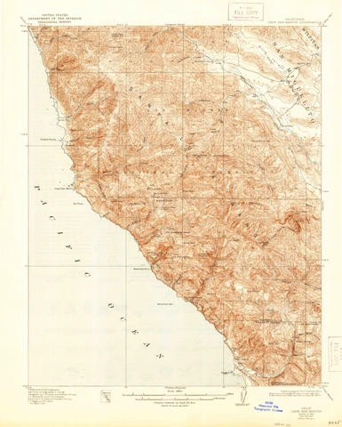
Cape San Martin — 1921
A Later Reprint
Edition of 1921; reprinted 1944.
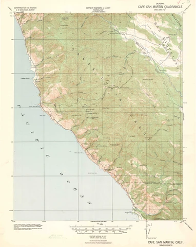
Cape San Martin — 1941
An Aerial Revision
Revised from aerial photographs in 1941; earlier survey basis.
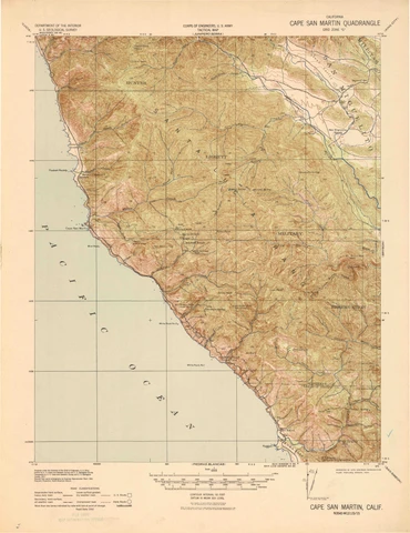
Cape San Martin — 1942
Road Data and Reprinting
Reprinted 1942; road data 1942; revision 1941.
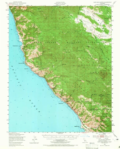
Cape San Martin — 1948
Postwar Mapping
1948 edition; later receipt markings are not edition dates.
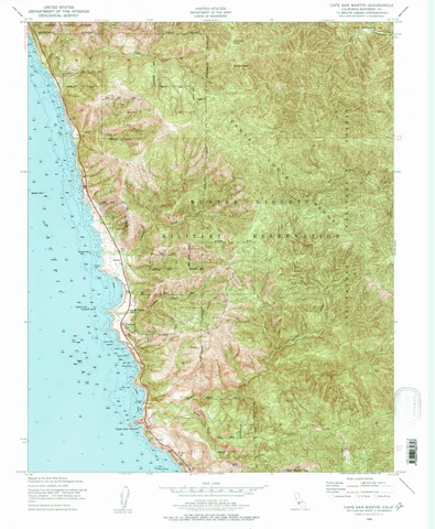
Cape San Martin — 1949
A More Detailed Quadrangle
1949 base mapping; later printing indicated by the 1988 imprint.
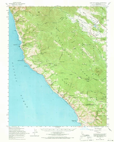
Cape San Martin — 1961
Field-Checked Terrain
1961 edition; field checked 1961.
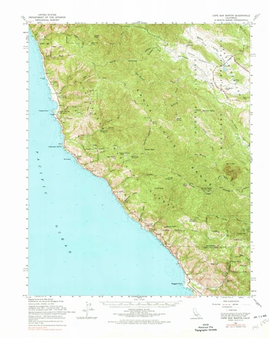
Cape San Martin — 1961
The Photoinspected Copy
1961 base; photoinspected 1972.
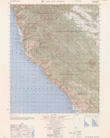
Cape San Martin — 1962
The Military Sheet
Edition 4-AMS; first printing August 1962; compiled 1961.
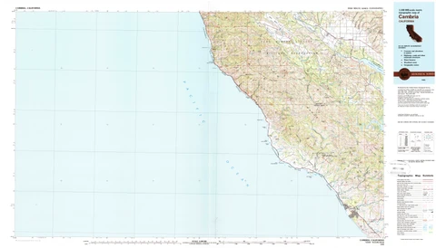
Cambria — 1980
The Regional Landscape
1980 base; topographic presentation.
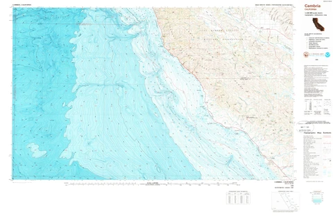
Cambria — 1980
Land and Sea
1980 base; bathymetry added 1987.
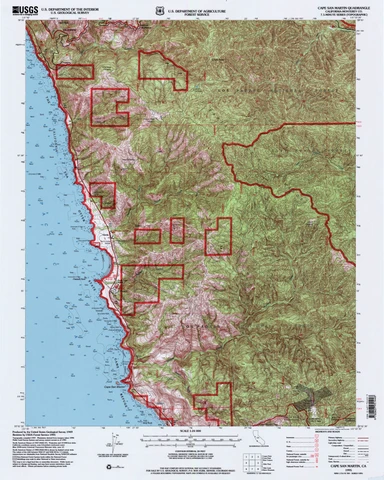
Cape San Martin — 1995
A Revised Detailed Sheet
1949 original; revised 1995.
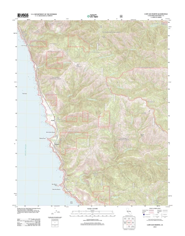
Cape San Martin — 2012
US Topo: 2012
US Topo, 2012.
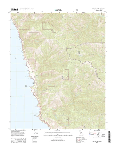
Cape San Martin — 2015
US Topo: 2015
US Topo, 2015; default-layer web presentation.
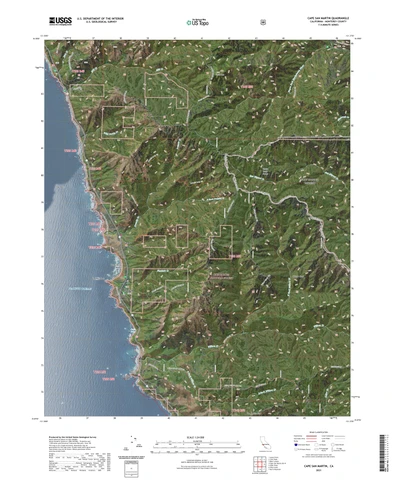
Cape San Martin — 2021
US Topo: 2021
US Topo, 2021.